Locate your animals
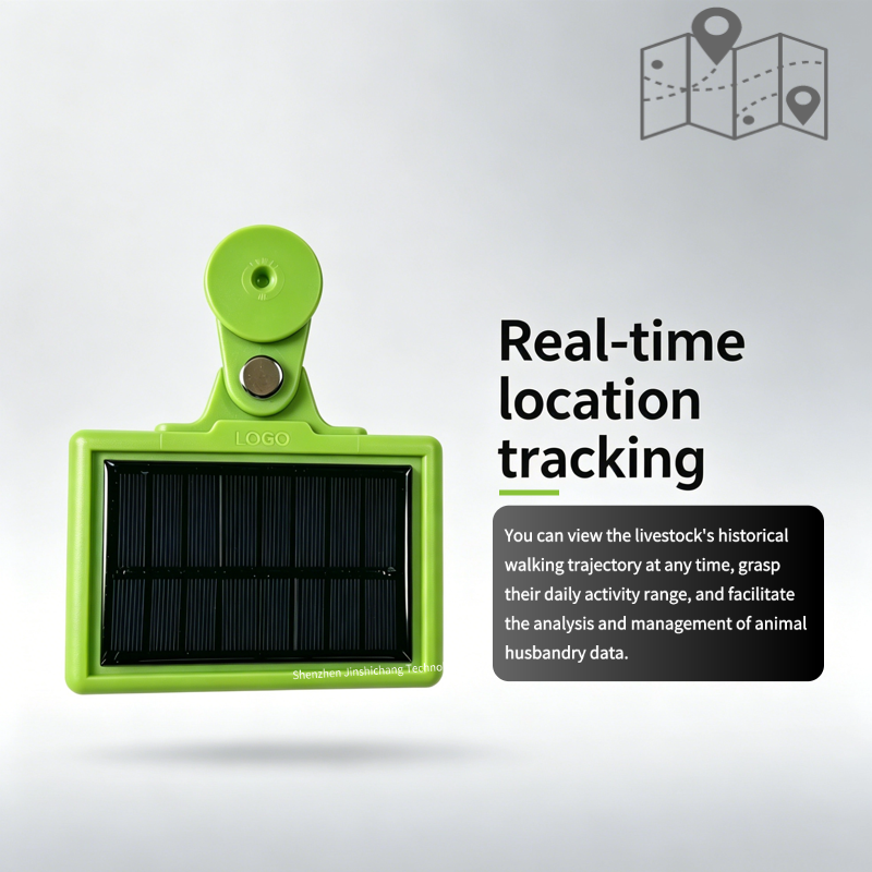
View reported positions and identify which animal needs a closer look.
CONNECTED HERDS. CLEARER DECISIONS.
Know where your cattle were last seen. Bring pasture location, movement history and boundary alerts into one connected livestock system.
01 / Benefits
View reported positions and identify which animal needs a closer look.
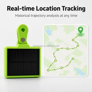
Review movement history before planning your next pasture visit.
Use geofence alerts to help investigate animals leaving a defined area.
Access compatible livestock software from the field or the office.
02 / LoRaWAN
GPS determines location; LoRaWAN carries the report. A compatible gateway and internet backhaul connect your pasture network to the platform. Reports are periodic, not a continuous live video feed.
GPS + LoRaWAN
The supplied product images show a solar panel. Choose reporting intervals around your management needs, available sunlight and network coverage. Confirm the exact battery and charging configuration before ordering.
Specifications ↓03 / Specifications
| Positioning | GPS / GNSS |
|---|---|
| Radio network | LoRaWAN configuration; confirm regional band and gateway compatibility |
| Power | Solar-equipped design shown; battery and runtime depend on model |
| Monitoring | Position history, geofences and device status on a compatible platform |
| Integration | Gateway, platform and API scope to be agreed |
| Before ordering | Confirm weight, dimensions, IP rating, reporting interval and certifications |
Published listings describe different configurations. Obtain the datasheet for the pictured model before purchase; no universal range or battery-life guarantee is implied.
04 / FAQ
A LoRaWAN tag sends data to a gateway. The gateway needs an internet connection, which may use a SIM for cellular backhaul. Confirm your network design.
Coverage changes with terrain, vegetation, antenna height and placement. Plan a field test before choosing the number and location of gateways.
The latest displayed location depends on the reporting schedule, GPS reception and successful data delivery. Agree an interval that balances visibility and power use.
A geofence is a software alert boundary. It does not physically contain animals or imply an electric virtual-fencing function.
Share the gateway, network server and API requirements. Compatibility and any integration work need confirmation before ordering.
Send animal numbers, country, pasture map, terrain, internet availability and desired update interval. Ask for the matching datasheet, pilot options and itemized pricing.
JINSHENGCHANG
Shenzhen Jinshengchang Technology Co., Ltd. works with GPS tracking devices, IoT hardware and management software. Discuss livestock ear tags, gateways and platform integration with the team, including OEM requirements.
Shenzhen Jinshengchang Technology Co., Ltd.
深圳市金盛昌科技有限公司
05 / Contact
Tell us about your pasture and herd. We will discuss the tag, network and platform configuration for your project.